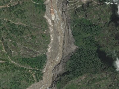
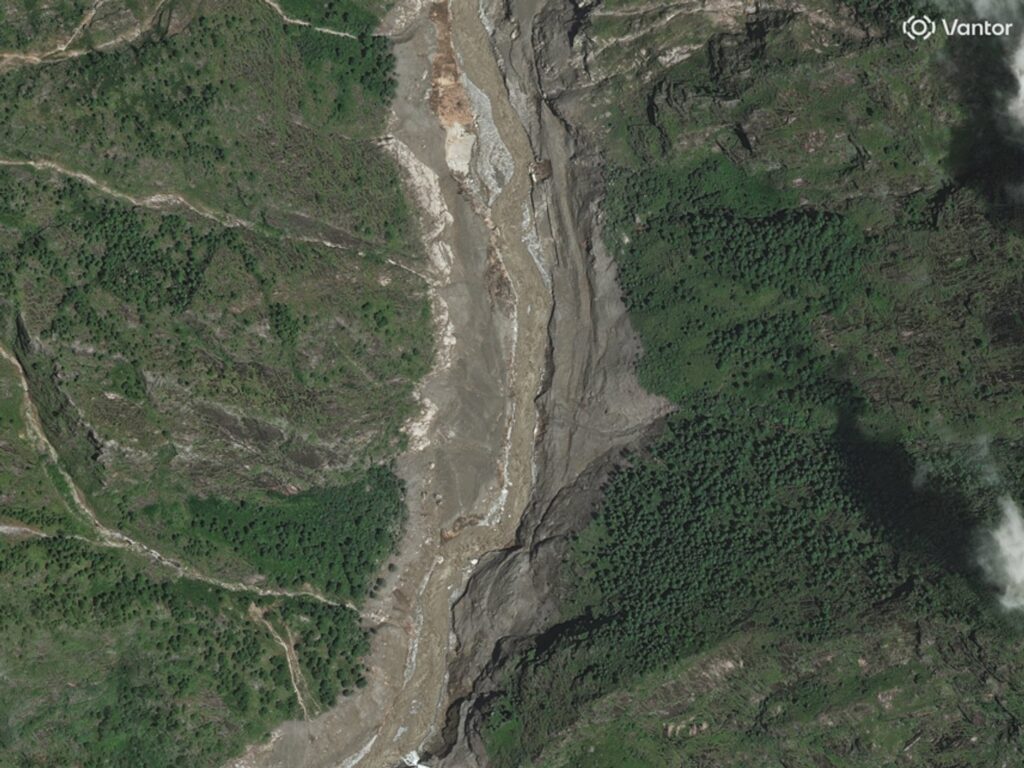
Recent before-and-after satellite images have dramatically illustrated the catastrophic impact of flash floods in Nepal, revealing extensive destruction across affected areas. The flash floods, triggered by intense monsoon rains, have devastated communities, infrastructure, and landscapes, leaving widespread damage that is now visible from space.
In the before images, the affected regions appeared relatively stable and largely untouched by natural disasters, with rivers contained within their banks and vegetation healthy and vibrant. However, the after images starkly contrast this tranquility, showcasing swollen rivers overflowing into previously dry areas, widespread mudslides, and large swaths of damaged or wiped-out vegetation.
The floods have brought severe humanitarian consequences, with numerous homes destroyed and key infrastructure such as roads and bridges washed away or severely damaged. This has not only displaced many families but also hindered emergency response and relief efforts, complicating access to vital resources and medical assistance.
Satellite imaging agencies and disaster response teams have utilized these before-and-after images to assess the extent of damage quickly and coordinate aid efforts more effectively. This technology offers crucial insights into the geographical spread and severity of the floods, which ground teams might find difficult to access immediately due to terrain challenges and ongoing risks.
Nepal’s topography, characterized by rugged mountains and narrow valleys, often exacerbates the impact of such natural disasters, as floodwaters funnel rapidly downstream, causing sudden and intense flooding in lower-lying areas. This event serves as a reminder of the region’s vulnerability to climate-related disasters and the urgent need for improved disaster preparedness and resilient infrastructure.
Local authorities and international aid organizations have mobilized resources for rescue, relief, and rehabilitation operations. Efforts include providing temporary shelter, food, clean water, and medical supplies to affected populations. Additionally, there are ongoing assessments for rebuilding efforts aimed at minimizing damage from future events.
Experts warn that flash floods like these may increase in frequency and intensity due to climate change, emphasizing the importance of sustainable environmental practices and enhanced early warning systems. Engagement with local communities to build awareness and preparedness is also considered crucial for reducing vulnerability.
The satellite images not only document the tragic consequences of the disaster but also serve as a powerful tool to drive support and galvanize global attention toward Nepal’s recovery efforts. They highlight the urgent need for continued monitoring, investment in infrastructure, and policies aimed at mitigating the effects of climate-induced disasters.
In summary, the before-and-after satellite imagery reveals the significant scale of destruction caused by the Nepal flash floods, underlining a vital call to action for disaster resilience, humanitarian aid, and climate adaptation strategies in the region.