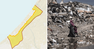
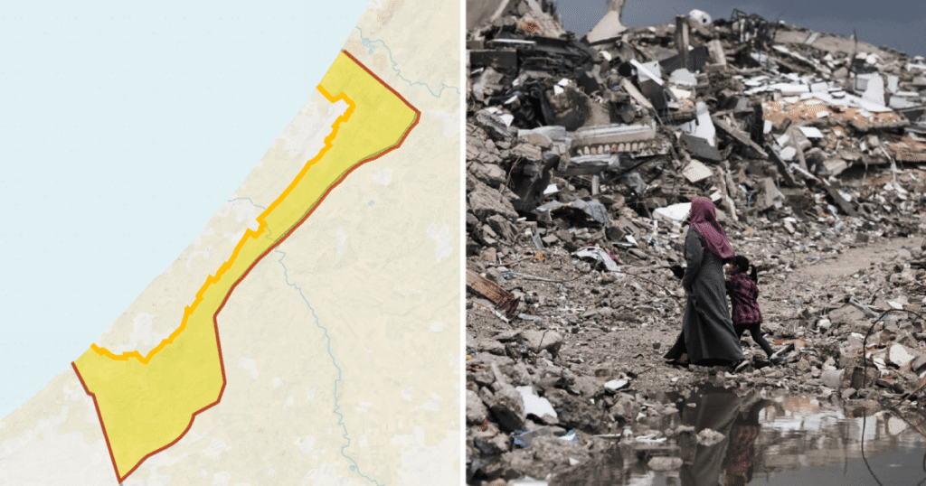
One year after the ceasefire agreement in the Gaza Strip, new maps have illustrated how Israel’s imposition of the so-called ‘Yellow Line’ has drastically restricted access for Palestinians within the region. This demarcation confines Palestinians into a shrinking portion of Gaza, effectively exerting pressure on the densely populated enclave.
The ‘Yellow Line’ strategy by Israel limits Palestinian movement and access to approximately 35 percent of Gaza’s territory, leaving 65 percent inaccessible to the population of 2.1 million. This policy effectively squeezes Palestinians into a confined space, exacerbating humanitarian and socioeconomic challenges.
Historically, the Gaza Strip covers an area of about 360 square kilometers. However, following years of blockade and territorial restrictions, the effective living area for Palestinians has been significantly reduced. The Yellow Line, as depicted in recent maps, cuts through the heart of Gaza, designating off-limits zones particularly in areas along the borders and near military installations.
This contraction of accessible land intensifies population density, with over two million Palestinians now living in less than half of Gaza’s total area. Such density complicates efforts for adequate housing, access to clean water, healthcare, and education, while also heightening the risks during conflicts or emergencies.
The ceasefire, while halting active hostilities, has not been accompanied by parallel humanitarian relief or easing of movement restrictions. Aid groups and human rights organizations have repeatedly expressed concerns that these limitations contribute to a deteriorating quality of life for Gazans.
Israeli authorities maintain that the restrictions are necessary for security reasons, to prevent militant activity and rocket attacks originating from Gaza. Nevertheless, the enforcement of the Yellow Line means that Palestinians face severe limitations on fishing zones, agriculture, and travel within Gaza, nullifying their ability to sustain livelihoods and access essential services.
Moreover, the closure under the Yellow Line policy has enduring effects beyond immediate physical constraints. It stifles economic development by limiting trade and movement of goods and workers, thereby increasing unemployment and poverty rates among Palestinians in Gaza.
The use of maps as a visual representation highlights the stark spatial inequalities imposed by these geopolitical restrictions. The areas designated outside the Yellow Line often coincide with key infrastructure points that could facilitate economic activity and growth but remain inaccessible.
Community leaders in Gaza have voiced frustration over the shrinking living space and the constant pressure from political and military restrictions. This spatial confinement is seen not only as a territorial issue but also a humanitarian concern that affects everyday life.
International bodies have called for renewed negotiations to address the humanitarian needs in Gaza and to find a sustainable path forward that respects the rights and dignity of Palestinians. Opening access to more areas within Gaza and easing the blockade could potentially improve living conditions.
In sum, a year into the ceasefire, the ‘Yellow Line’ continues to be a major geographic and political factor shaping the lives of Palestinians in Gaza. It restricts freedom of movement, increases population density in smaller areas, and deepens the hardships faced by millions. Understanding this spatial reality through maps underscores the urgency for policy solutions that address both security and humanitarian concerns in the region.