ONAWAY, Mich. — Tom and Diane Peterman tried to buy flood insurance when they moved to their retirement home on the shores of Black Lake 14 years ago but were told it wasn’t available. John Solum was told he wasn’t in a flood zone when his family bought a 1940s-era cabin there.
Then came this spring’s historic and devastating floods across northern Michigan — in some areas, for the first time anyone can remember — swamping homes, pushing dams to the brink of failure and washing out roadways. Dozens of counties were under a state of emergency.
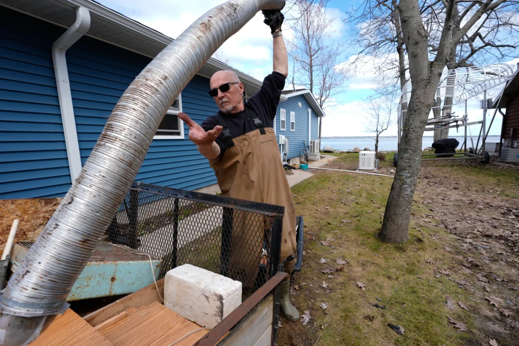
Black Lake was so high that floating ice broke apart decks and crashed through windows.“We’ve never seen anything like that. Never,” said Solum, who experienced flooding often when he lived in Houston. Knee-high floodwater forced them to tear out flooring, drywall, furniture, bedding and appliances.
Across Michigan, thousands were left without financial protection after record April rains fell on top of record March snowfall. Worse, many had no idea they were at risk despite years of increasingly heavy precipitation.
Their experience exposes vulnerabilities across the country, experts say, because flood plain maps don’t cover all areas. What’s more, the federal government’s mapping method is arguably outdated and does not account for actual risks as climate change increases the odds of more extreme weather.