
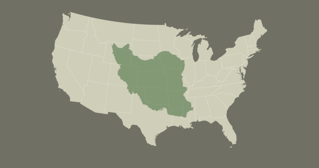
When placing Iran on the map in comparison to the 50 US states, its vast land area becomes strikingly evident. Iran roughly matches the size of Alaska, the largest US state, indicating its enormous territorial expanse. To put it into perspective, Iran is approximately 2.5 times the size of Texas, the second-largest US state. This comparison highlights just how expansive Iran’s geography is.
Overall, Iran covers about one-sixth of the total land area of the United States, a notable fraction considering the US encompasses 50 states with diverse landscapes and terrain. This proportion shows Iran’s considerable presence when mapped alongside such a large country.
Breaking it down further, Iran’s area is around 1.65 million square kilometers, while Alaska measures approximately 1.7 million square kilometers. Texas is smaller at around 695,000 square kilometers. Iran’s vastness is not just a geographical fact but also significant geopolitically and culturally.
Understanding Iran’s size in relation to US states helps provide a clearer view of its scale, which often gets overlooked. Many might underestimate Iran’s massive territory, but when placed next to familiar US states, its magnitude becomes clear.
This size comparison can aid in better understanding the strategic importance of Iran, its resource potential, and its influence in the Middle East region and beyond. The country’s landscape spans mountains, deserts, and coastal regions, contributing to its diversity and complexity.
In summary, Iran’s size is comparable to Alaska and significantly larger than Texas, covering about one-sixth of the entire US land area. This perspective offers insight into Iran’s geographical significance globally and within the context of the United States.