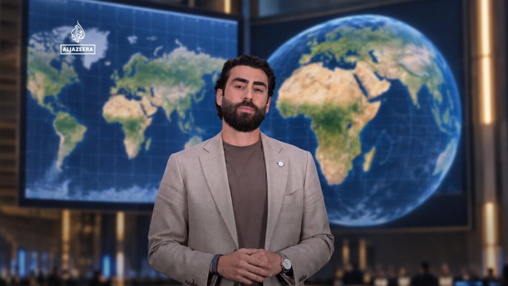
For nearly 450 years, the world’s most commonly used map projection, the Mercator map, has consistently misrepresented the size of continents, notably shrinking the true scale of Africa. This distortion has long influenced our perception of geography and geopolitics. Recognizing the longstanding inaccuracies, the United Nations has recently adopted a new approach to portraying Africa on world maps that more accurately reflects its immense landmass, aiming to foster better understanding and respect for the continent’s real scale and significance.
The Mercator projection, created in the 16th century for navigational purposes, preserves angles and shapes but does so at the expense of size, especially near the poles. As a result, continents near the equator, like Africa, appear far smaller than they truly are. This distortion has cultivated misconceptions: for instance, Greenland often looks as large as Africa or even larger, when in reality, Africa is over 14 times bigger. Such inaccuracies have subtly contributed to skewed perceptions of global power and place.
The UN’s initiative to update map visuals is part of a broader movement to rectify historical biases embedded in educational and media tools worldwide. By utilizing projections that reduce distortion—such as the Gall-Peters projection, which prioritizes area accuracy—the new maps reveal Africa’s vastness, highlighting its geographic diversity and reinforcing its global importance.
This cartographic correction is more than a visual update; it carries symbolic weight. Maps play a crucial role in shaping worldviews, educational curricula, and even political discourse. The minimization of Africa over centuries has paralleled narratives that understate its value and potential. By adjusting the lens through which we view the continent, the UN hopes to contribute to greater awareness of Africa’s contributions and challenges.
Beyond educational impacts, accurate maps can influence economic and diplomatic engagements. Recognizing Africa’s true size underscores the continent’s resource wealth, demographic potential, and strategic significance on the world stage. It is a subtle yet powerful step towards rebalancing global narratives that have often marginalized African countries.
This change also encourages critical thinking about how maps and other informational tools shape our understanding of the world. It serves as a reminder that many accepted truths may be influenced by historical conventions rather than factual accuracy. The commitment by the UN promotes dialogue and reflection on how to present information fairly and responsibly.
In conclusion, after 450 years of distortion, the United Nations’ adjustment of how Africa is represented on maps corrects a widespread misconception, celebrating the continent’s true scale and importance. This reformation in cartography not only educates but also empowers, fostering a more accurate and respectful perspective on one of the world’s most diverse and vibrant continents.