
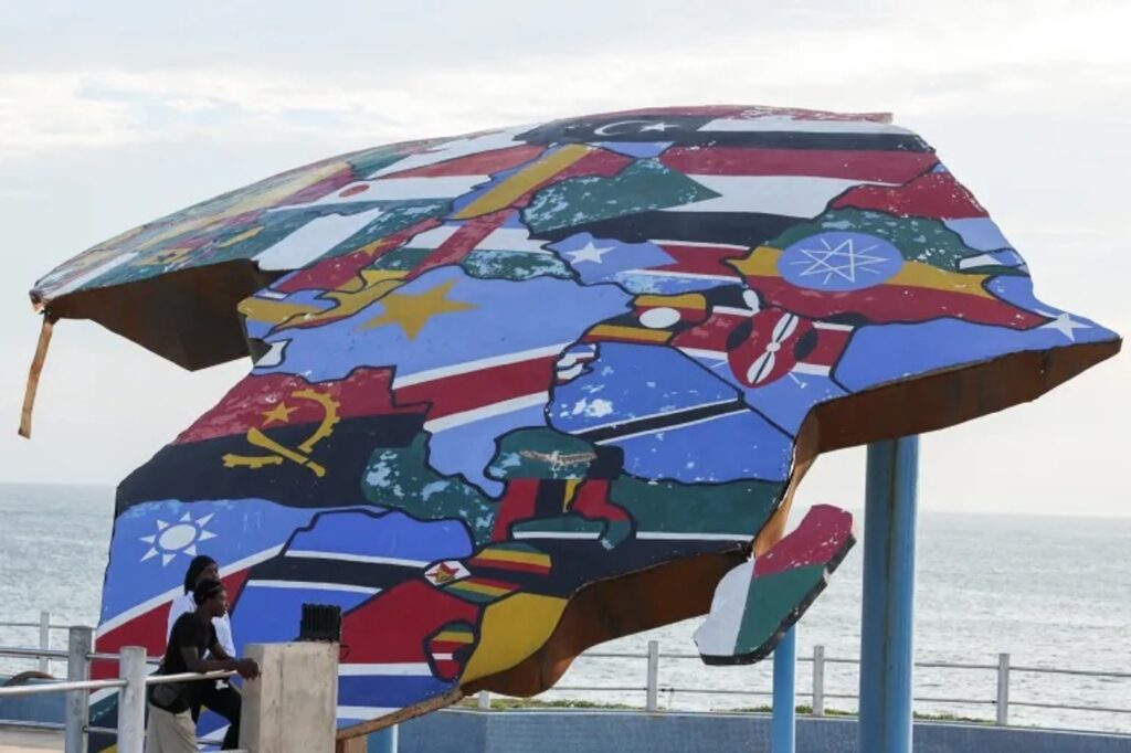
The United Nations General Assembly has taken a significant step towards promoting a more accurate representation of the African continent by approving a resolution to update world maps. This resolution aims to correct the distortions commonly found in traditional maps that tend to underestimate Africa’s true size.
For decades, many world maps have used the Mercator projection, which distorts the size of landmasses, especially near the poles. This often resulted in Africa appearing smaller than it is relative to other continents, such as Europe and North America. The new UN-backed resolution seeks to promote the use of more precise mapping techniques that reflect Africa’s vast scale accurately.
Africa is the second-largest continent on Earth, covering approximately 30.37 million square kilometers. Traditional map projections have sometimes minimized its size, impacting perceptions about the continent’s geographic and economic significance. By adopting updated mapping standards, the UN hopes to foster a better global understanding of Africa’s true scale and importance.
The change is not merely about geography but also about recognizing Africa’s role in global affairs and development. Accurate representation on maps could influence decisions in trade, resource management, education, and international relations.
The UN General Assembly’s resolution encourages mapmakers, educational institutions, and media outlets worldwide to transition to maps that portray Africa’s size with greater fidelity. This shift intends to correct long-standing misconceptions and give due acknowledgment to the continent’s vastness and diversity.
Supporters of the resolution argue that better maps will not only enhance geographical literacy but also help dismantle lingering biases rooted in outdated colonial perspectives. By portraying Africa accurately, the world can appreciate its vast resources, cultures, and potential more effectively.
This resolution aligns with broader efforts to decolonize education and promote inclusivity by addressing historical inaccuracies in how global regions have been depicted.
The implementation of the new map standards will require cooperation from international cartographic organizations, governments, and educational bodies to update their materials and practices. While the Mercator projection will not disappear entirely, it is expected that alternative projections, such as the Gall-Peters projection, will become more widely used for educational and informational purposes.
In conclusion, the UN’s approval of this resolution marks a meaningful step towards rectifying a long-standing geographic misconception. By embracing more accurate maps, the global community acknowledges the true scale of Africa, promoting respect and understanding for one of the world’s most vital continents.